
Hockenhull Platts is a small nature reserve to the east of Chester, near the picturesque village of Christleton. It’s a very short walk, although it can be made longer by linking it up with Tarvin playground and the adjacent Grogans walk which you can read about here.
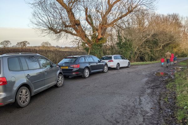
Parking is very limited, so do bear that in mind. The Sat Nav link on the Info Bar will take you to the small parking area at the end of a single track (Platts Lane) dead end road, where there’s enough space for about 3 cars.
If you want guaranteed parking you could always do the long version of the walk in reverse and start at Tarvin playground car park.
From parking up in Platts Lane, follow the road to the end (in the direction you’ve just driven) to enter the reserve.
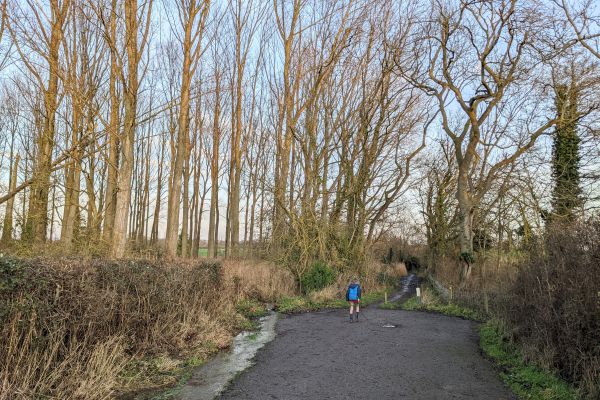
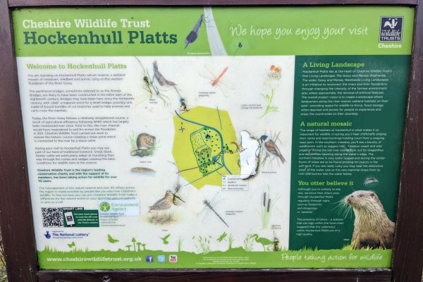
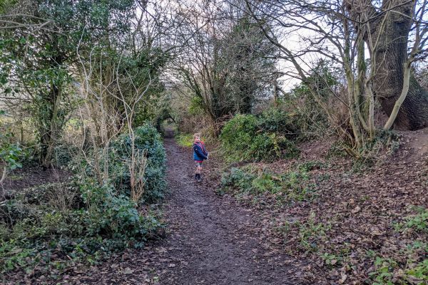
There is just one single footpath which cuts through the centre of the Hockenhull Nature Reserve (managed by Cheshire Wildlife Trust). Unfortunately you need a permit to access any other parts of the reserve, so you can only stick to the footpath, but on a positive note this means it’s hard to get lost! The route forms part of Cheshire’s Baker Way, a long distance walking route starting in the village of Christleton and running to Brines Brow Picnic Area on the edge of Delamere.
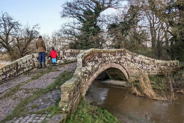
Locally this area is known as the Roman Bridges because of the 3 small sandstone bridges you’ll encounter as you progress on the walk. In the time of Chester’s Roman occupation there would have been timber bridges here but the ones you see today were built in the comparably modern eighteenth century! Platts Lane (where you parked up) used to form part of the medieval London to Holyhead road and would have been widely used by pack horses - a horse which carried goods.
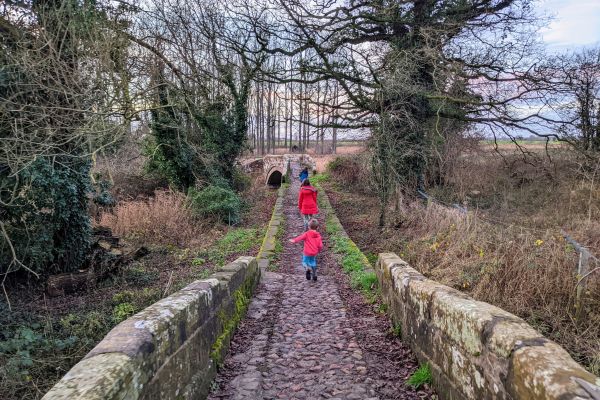
The 3 pretty bridges are in quick succession of one another and you’ll find the first one after only a few minutes walk.
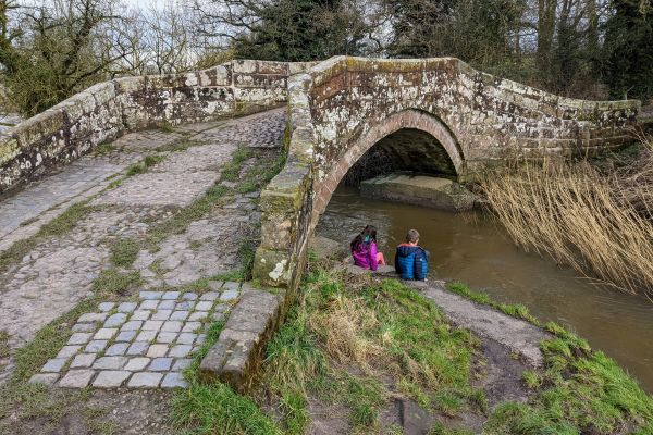
Today only one of the bridges actually crosses water - the River Gowy, the children always stop here for a game of pooh sticks. Although only small there can be a strong current after bad weather so watch little ones if they are playing on the banks. Next to the bridge you’ll find an information board about the reserve.
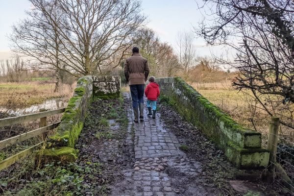
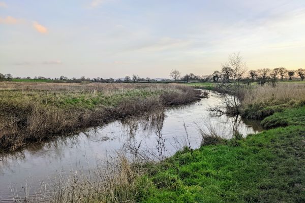
There are nice views to be had from the bridge across the reserve.
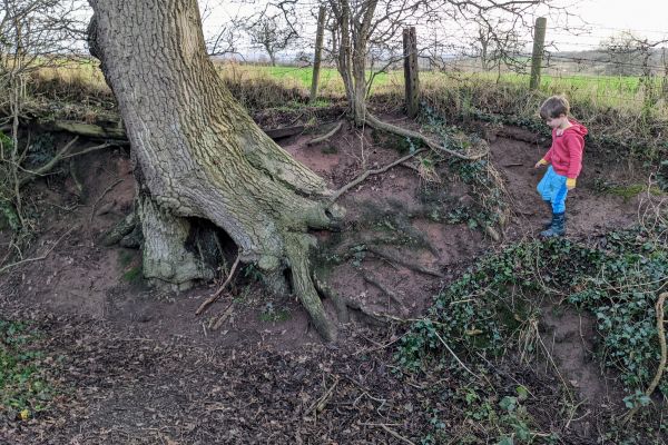
After the bridges the footpath keeps heading straight, there’s not a great deal of scenery but my kids enjoy playing off the path.
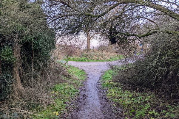
When you arrive at this point (about 0.7km from the car) you can either just turn back or if you want a longer walk, turn left.
From here you can walk all the way up to Tarvin playground via Grogan’s walk (another 1.5km), but bear in mind you’ll need to return on the same path so it’ll be about a 4.5km return trip.
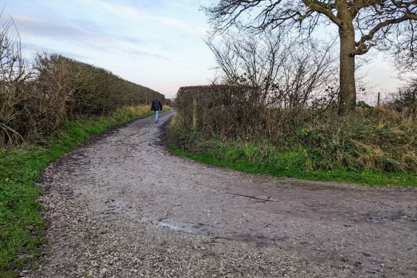
Follow the left turn all the way up. Once you come to some farm buildings the path becomes tarmaced. Ignore a left hand turn not long after this and continue straight until you hit the A51.
After crossing the road carefully, go through the gate ahead into Grogan’s walk. If you take the first left, you can follow this all the way around and up into Tarvin playground. I’ve written about Grogan’s walk and Tarvin playground here. Then simply retrace your steps back to the car.
If you are doing this in reverse by parking at Tarvin playground (all parking info can be found on my Tarvin page), then don’t be daunted to do it in reverse as it’s really not that hard to follow and using, for example, Google maps on your phone will guide you should you need it. Have a look too at my OS map (link in Info Bar) of the full route.